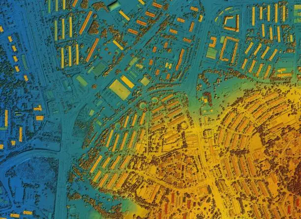
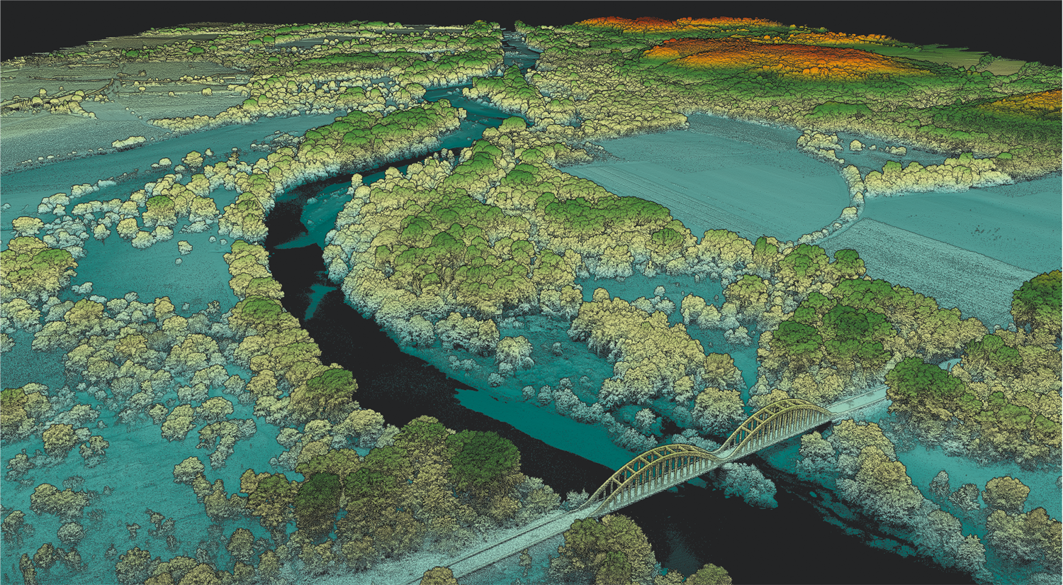
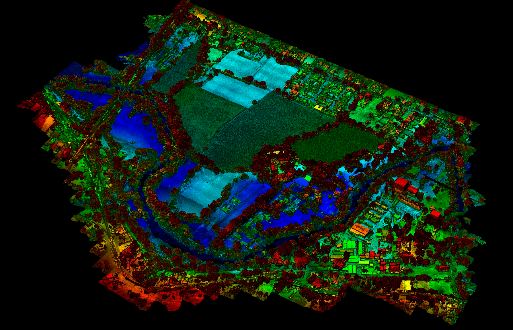
Topography is essential for accurately representing the terrain. It focuses on the direct measurement of points on the Earth's surface, fundamental in construction projects, urban planning, agriculture, and environmental management.


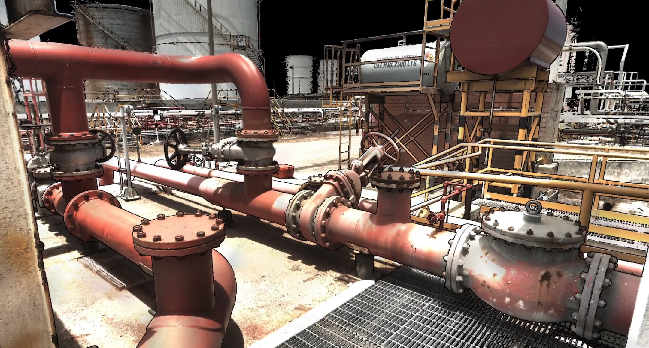
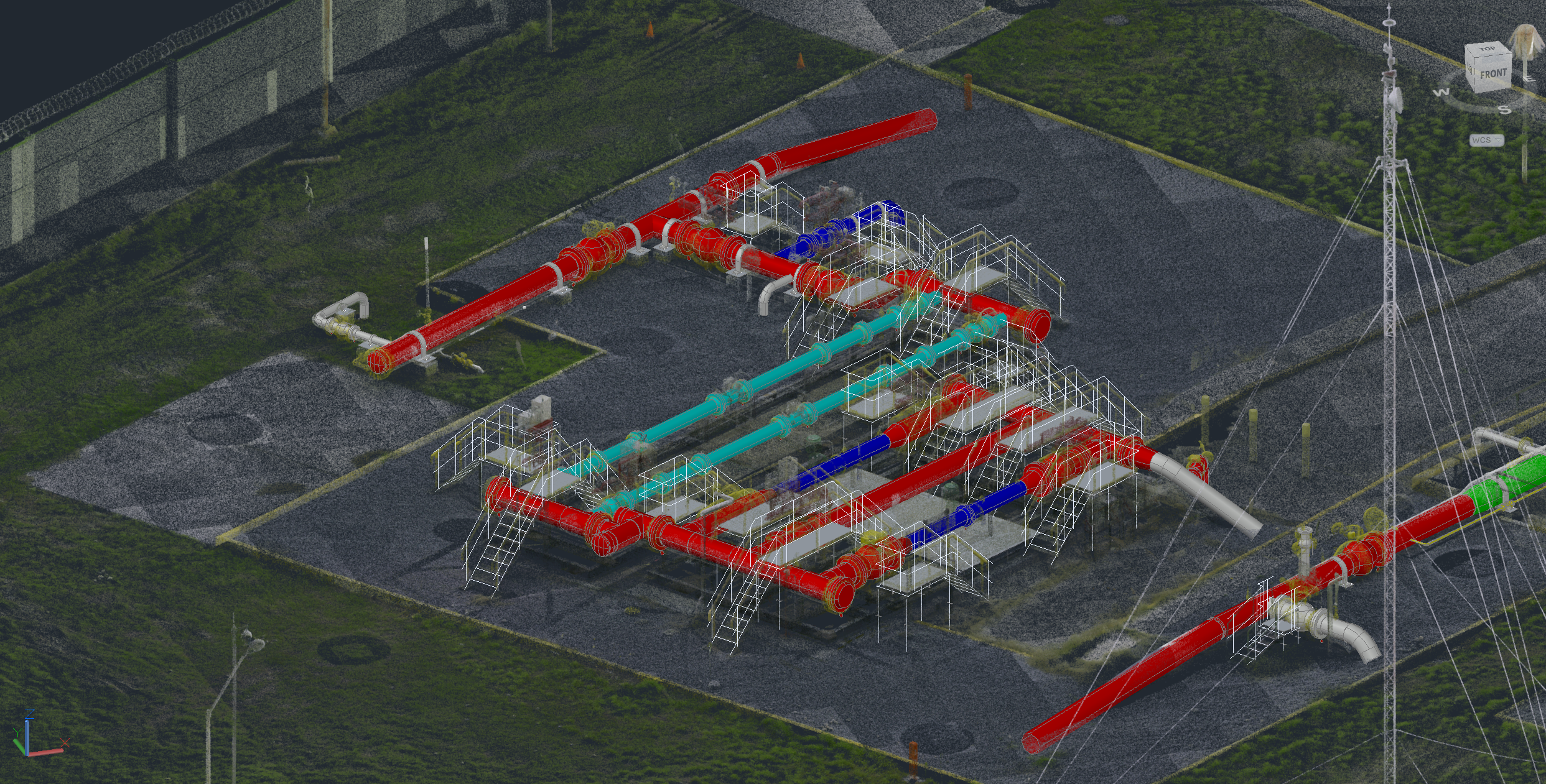
Geoearth is a leading company in geospatial solutions. We offer services for LiDAR surveying, inspection, and classification; 3D scanning; photogrammetry; gas detection; Autodesk BIM; and satellite technology with radar and hyperspectral imagery
Our engineering team is highly trained and uses state-of-the-art equipment, along with advanced software to process large volumes of geospatial data. This optimizes time and costs in projects while providing precise information for decision-making.

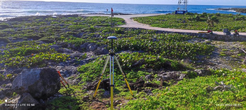
Topography is essential for accurately representing the terrain. It focuses on the direct measurement of points on the Earth's surface, fundamental in construction projects, urban planning, agriculture, and environmental management.

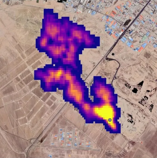
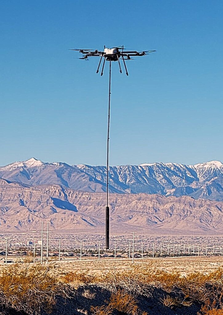
Methane detection is critical for monitoring greenhouse gas emissions and ensuring safety in industries like oil and gas. We use advanced technologies—remote sensors and UAV equipped with OGI sensors—to efficiently identify and quantify leaks, reducing environmental impact and improving operational safety.
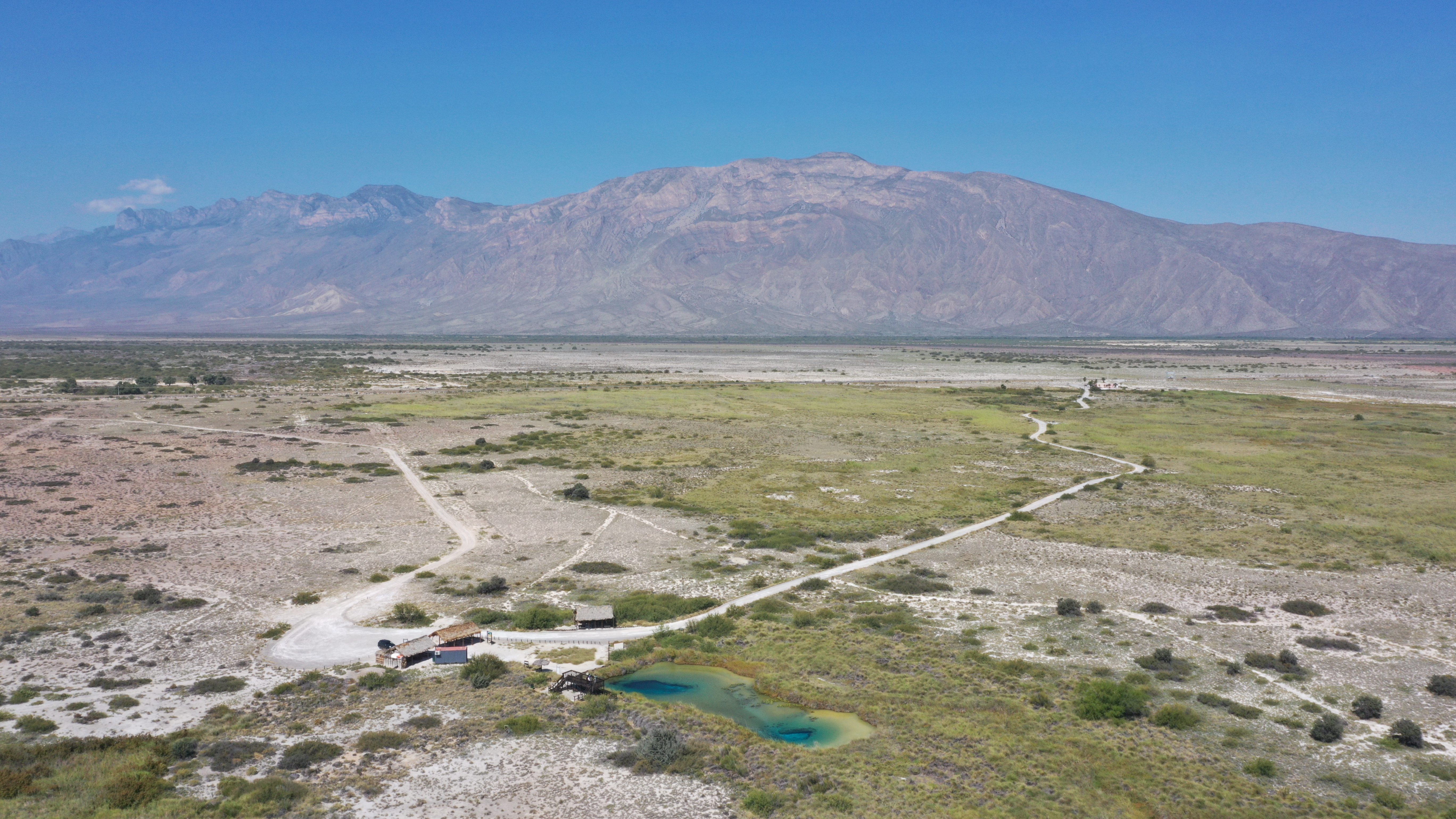
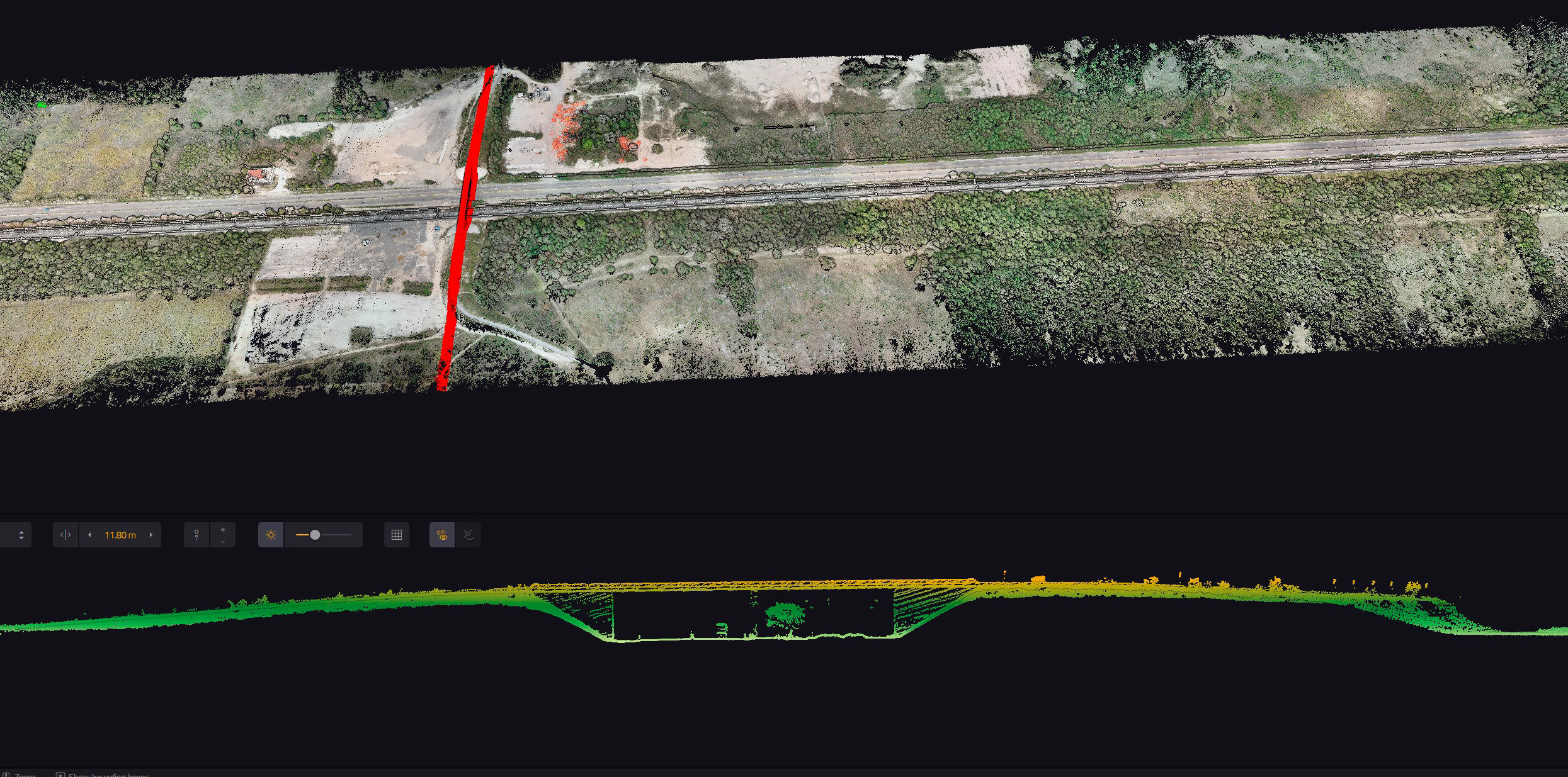
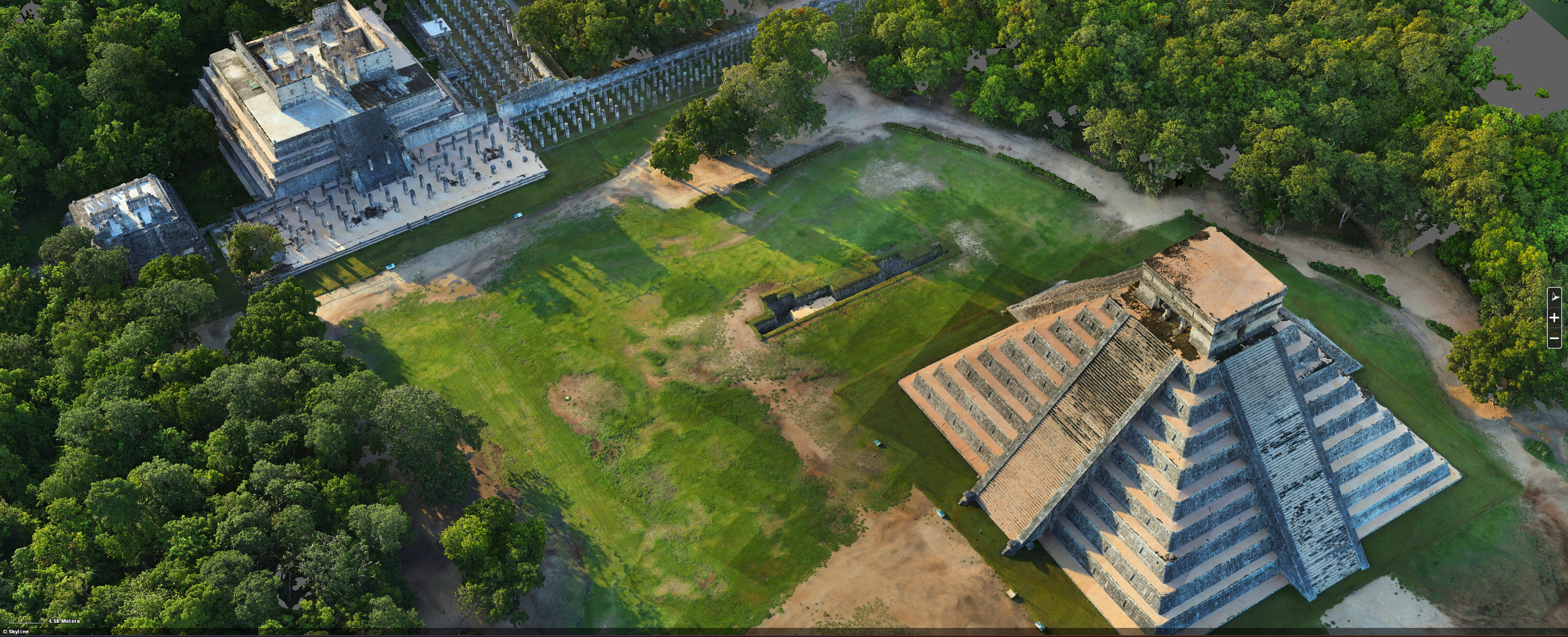
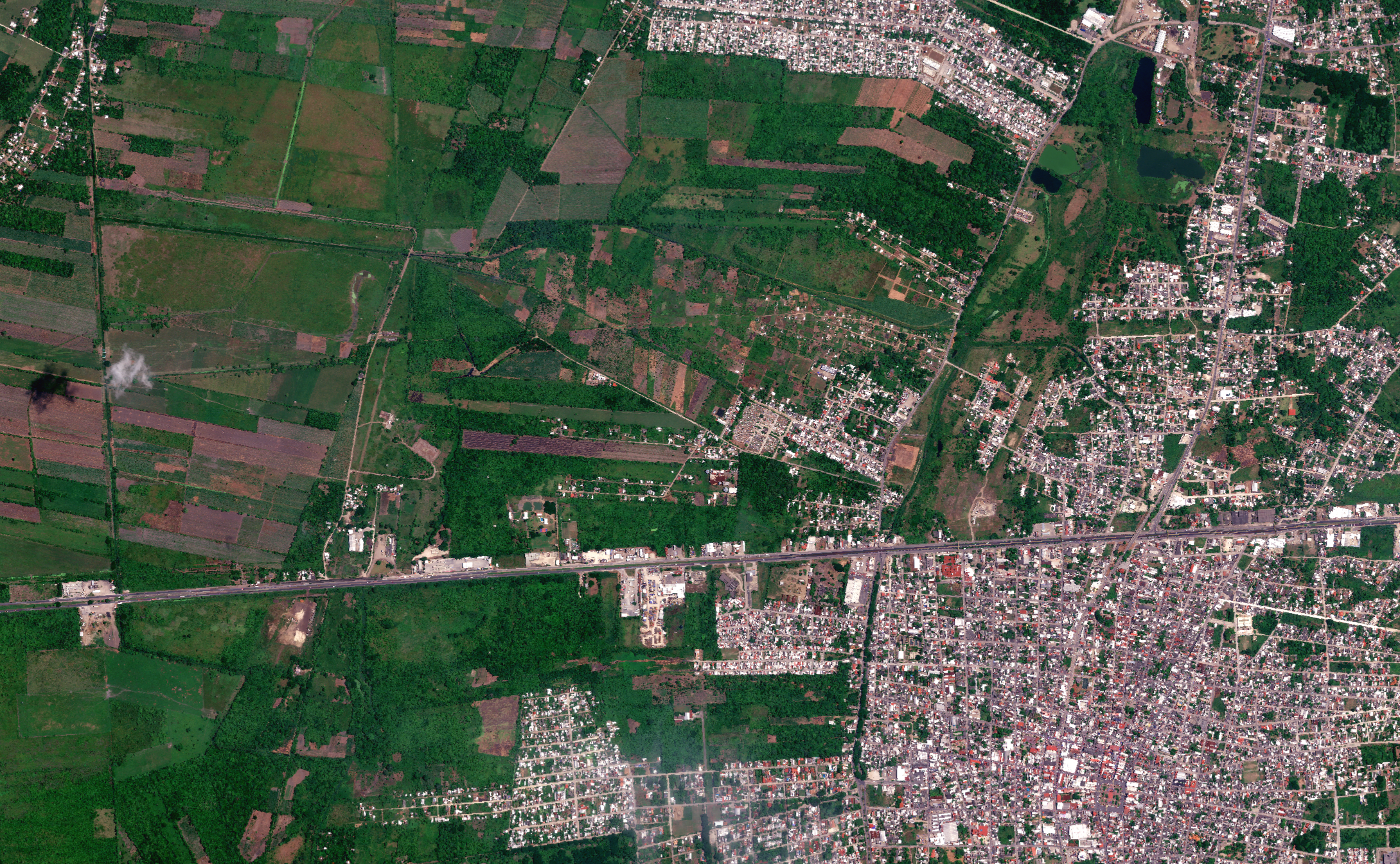
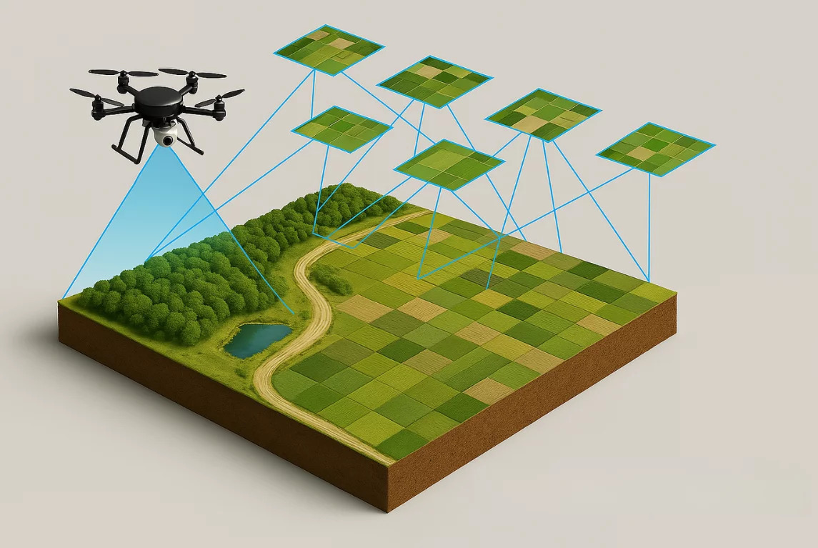
We perform large-area topographic and cartographic surveys using drones, LiDAR, and high-precision GPS. This enables the generation of detailed maps, digital elevation models, and orthophotos for infrastructure, land-development, and natural-resource projects.
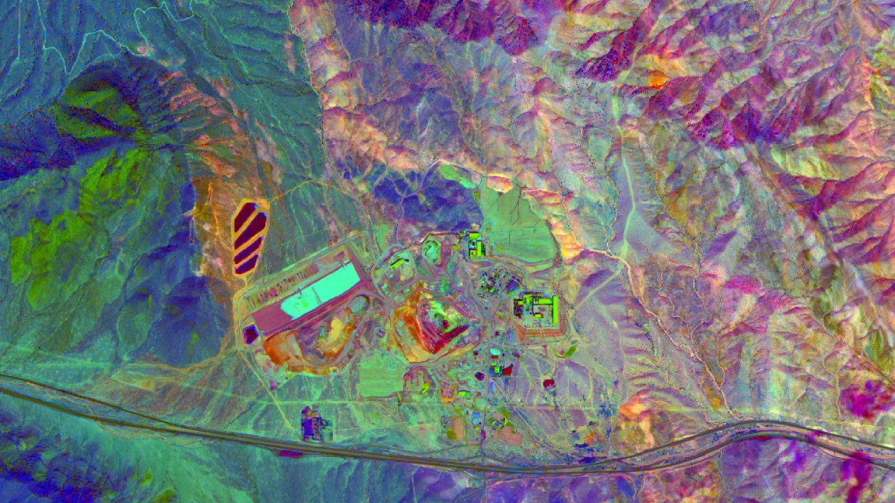
Magnetometry is a geophysical technique that measures variations in the Earth’s magnetic field. It’s used to detect anomalies caused by buried objects, geological features, or subsurface structures—valuable in mineral exploration, archaeology, pipeline detection, and environmental studies.


Our Business Intelligence (BI) solutions turn raw data into clear, actionable insights. We help organizations make strategic, data-driven decisions through trend analysis, interactive dashboards, and custom reporting—improving efficiency, identifying growth opportunities, and enhancing overall performance.
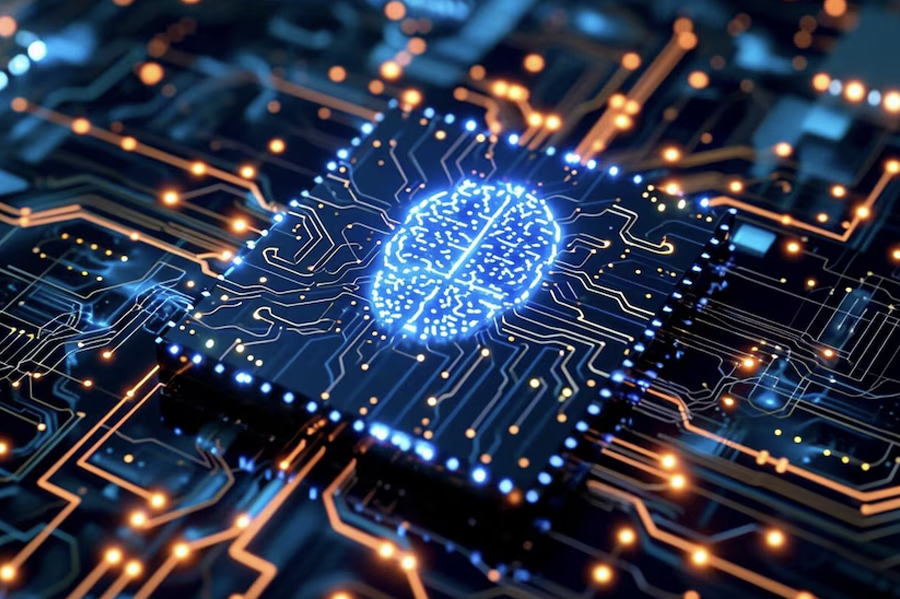
We apply Artificial Intelligence (AI) to automate processes, analyze massive datasets, and deliver predictive insights. Our custom AI and Machine Learning solutions enhance efficiency, reduce costs, and unlock new business opportunities across industries—from route optimization to predictive maintenance.